The Rides
Sure, there are parties & beaches & fun.
But the gorgeous rides are what’s at the heart of the Coon Fork 40.
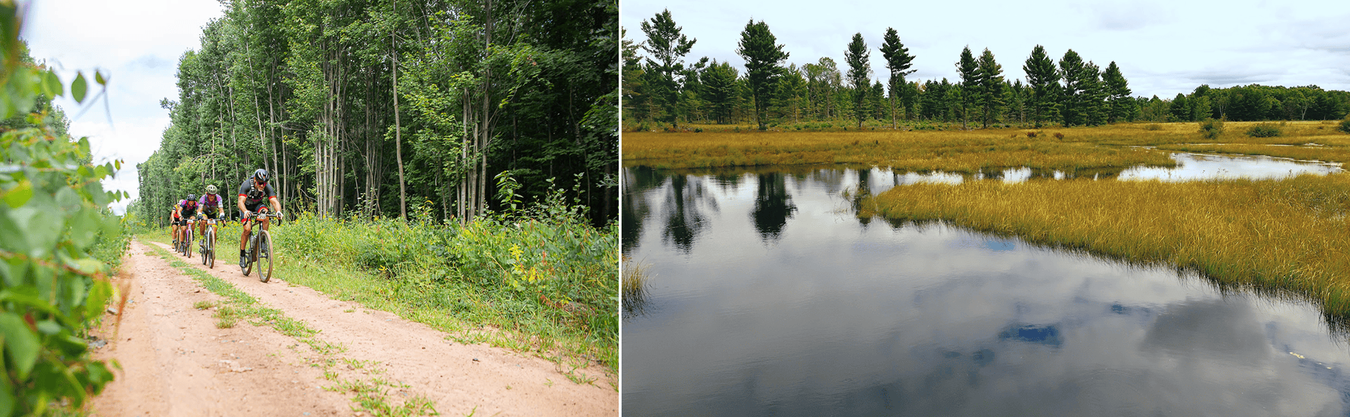
Depending on which one you pick, you’ll see a mix of towering Wisconsin pines, waterways both big and small, and even a classic Amish farm or two. On everything from full-width gravel roads to narrow hidden paths (including a couple ATV trail segments), you’ll ride every color and type of gravel Wisconsin has to offer.
All routes feature no less than 85% gravel, and as much as 92% gravel, with just a handful of paved connectors.
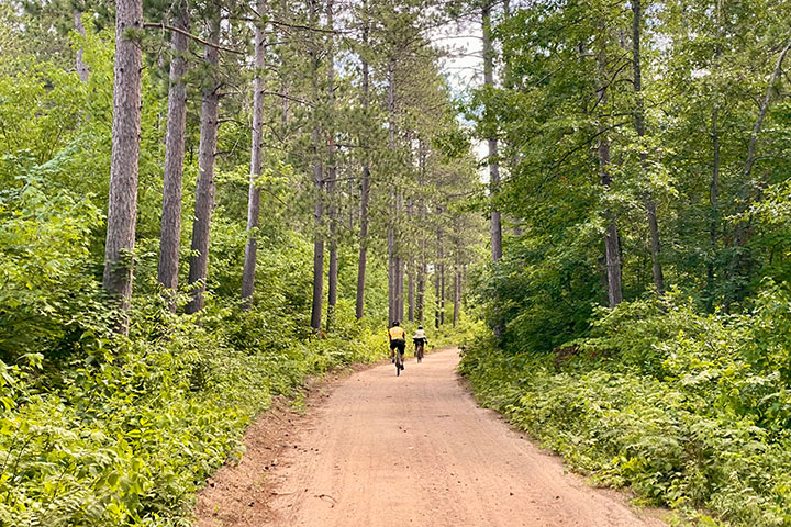

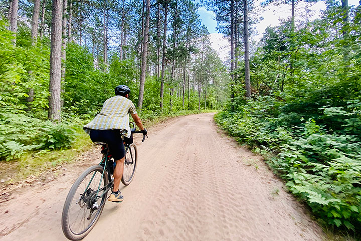
You’ll roll on fast and hard-packed “hero” gravel, a bit of looser rocky gravel, and even a few patches of sand that might require a brief dismount or two — all in the name of adventure.
And of course, all rides feature the Halfway Hang stop at roughly the mid-way point at Rock Dam Lake with free snacks, water refills, the beach, and restrooms.
SHORT, MID, & LONG ROUTES
THE SHORT
Approx 27-33 miles / ~1,000 feet
with Rock Dam Halfway Hang at mile 16
THE MID
Approx 44-49 miles / ~1,800 feet
with Rock Dam Halfway Hang at mile 25
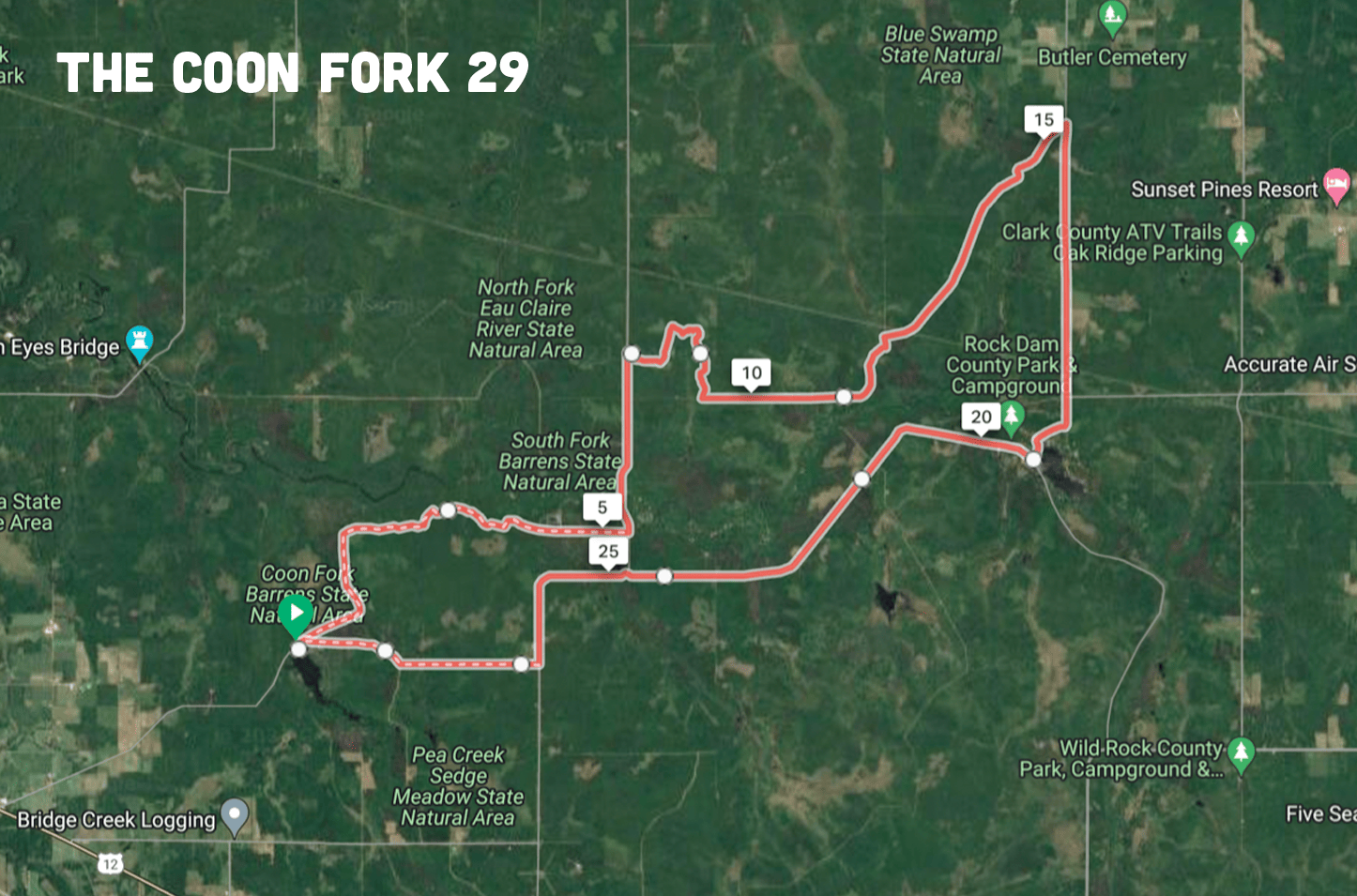
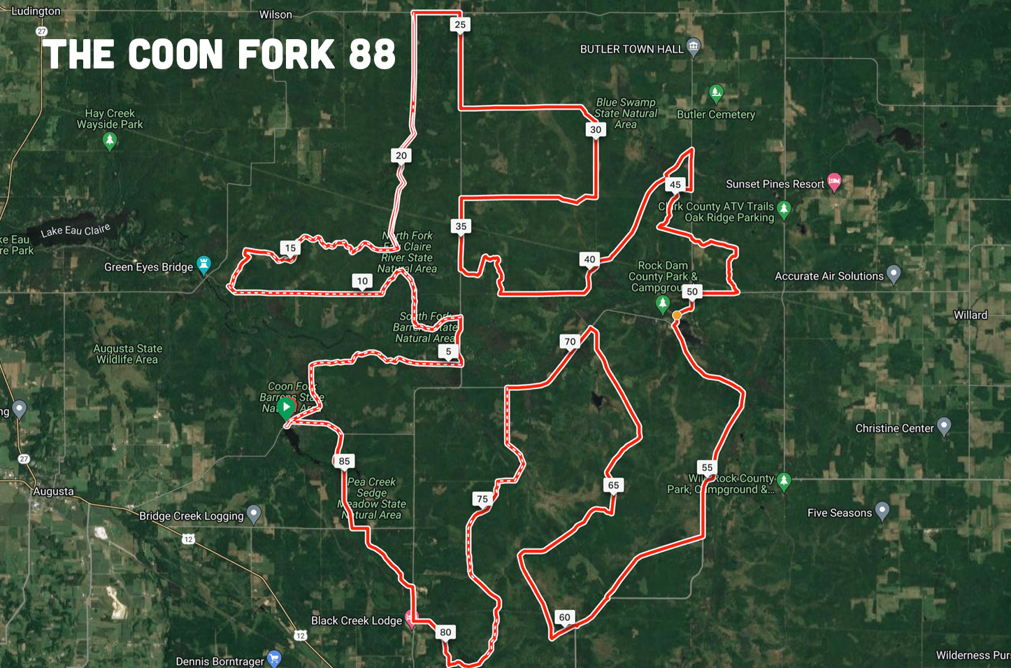
THE LONG
Approx 87-95 miles / ~3,000 feet
with Rock Dam Halfway Hang at mile 48
Final routes may vary based on gravel road and trail conditions, rainfall, etc.
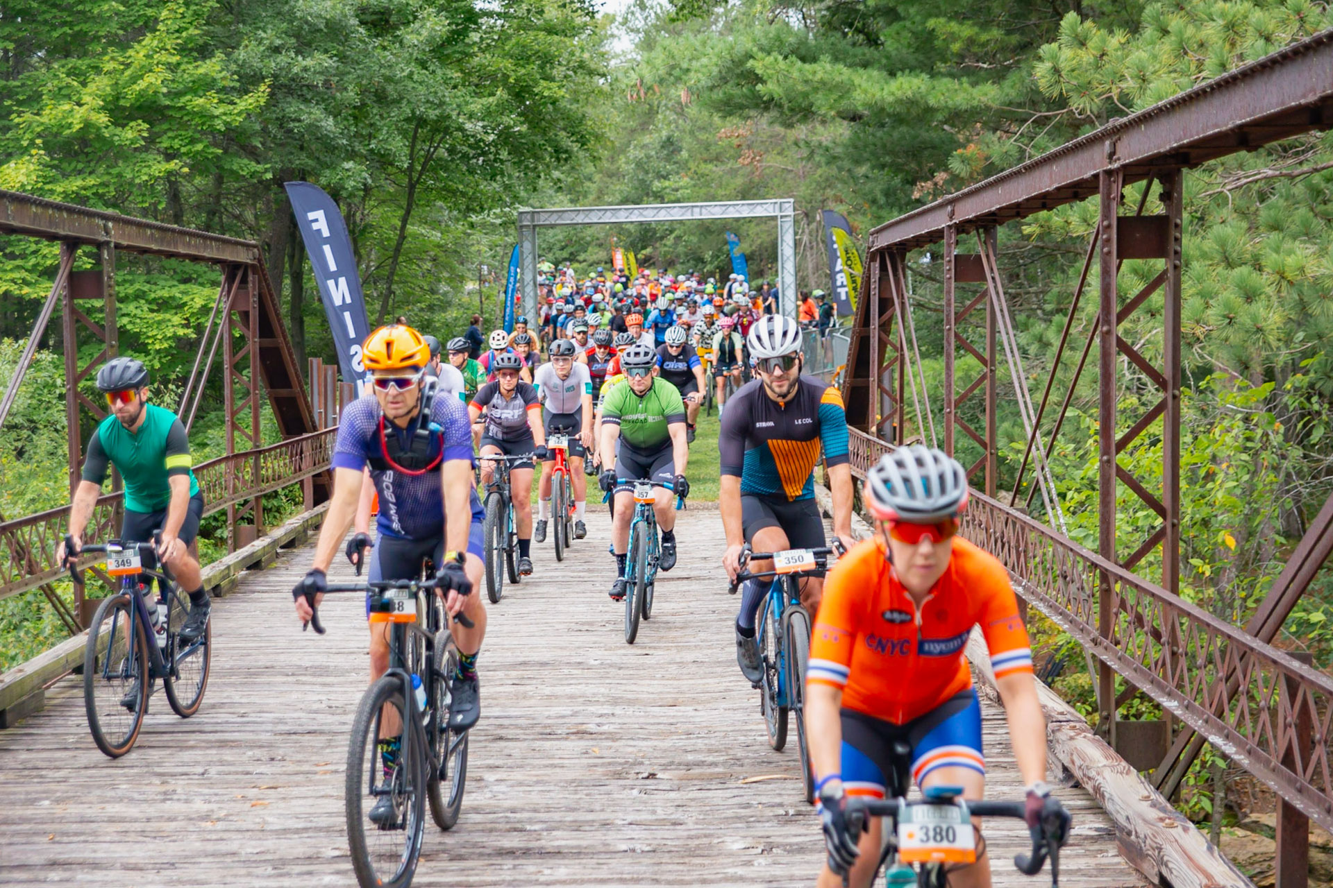
DEPARTURE
Each length route will roll out in an exciting mass group start from the hidden waterfall bridge just north of the Coon Fork Lake Park Beach. Find your pace and enjoy the wooded rural surroundings.
PREPARE
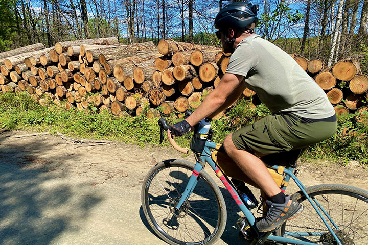
Not sure what bike to ride? Anything is fair game — a gravel bike, mountain bike, fat bike, or a road bike with beefier tires (38mm+ minimum) would all do the trick. Of course those short sandy patches will go better with bigger tires.
What else do you need? We’d recommend lights for other traffic if you’ve got them, a spare tube and tools just in case, bug spray and sunscreen, and of course plenty of water and snacks. And a swim suit if you want!
Support your own ride. While we’ll have snacks, water, supplies and restrooms for you at the Halfway Hang, you are responsible for yourself throughout the route in between. We’ll have routes and cue sheets to download or print before the event (Ride with GPS), as well as directional signage at key turns. But you are responsible to know your way. Be aware that cell phone service in this region can be spotty.
Fastest finisher?
Custom wooden medallions will be awarded in multiple categories for each route at the After Party.
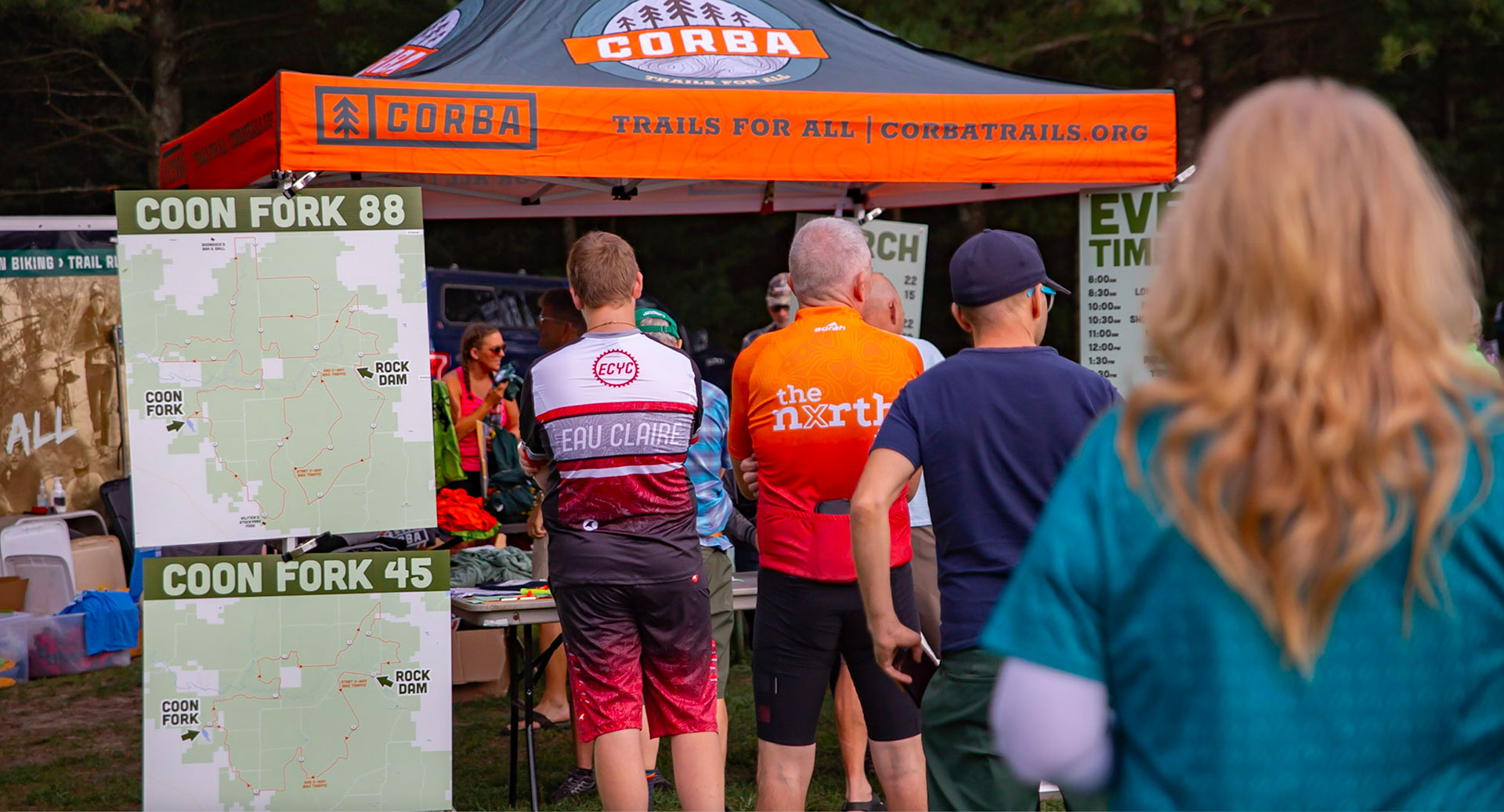
2023 ROUTE MAPS
Updated route maps, navigation files, and links will be posted in Summer 2024.

GRAVEL RIDING RESOURCES
New to gravel? No problem!
Here are some fun primers on what it takes to grind some gravel.
7 Essential Gravel Riding Skills & Tips »
How to Nail the Gravel Riding Basics »
Gravel Riding Explained:
Everything you need to know to get started »
![]()
Questions? Email:
gravel
@
corbatrails.org
(
gravel (at) corbatrails [d0t] org,
)
All photos by Branden Nall, Michael Lundebrek, Josh Rizzo, & Nick Meyer. Video by Volume One / Ma Vue.
2024 IMAGERY SUPPORT